©Visit Luxembourg
Guttland Germany France

Auto-pédestre trail Bridel

Hunting Season 2025/26 — Check for hunts

Autumn is here, and that means hunting season has begun! From mid-October to January/February, hunters are active across the country. Stay safe by checking hunt dates in your area on our Map. 

Click on Map in the Header > Services > More > Hunting.

Starting point

Fork of the route de Luxembourg/rue de Schoenfels in Bridel

Destination

Fork of the route de Luxembourg/rue de Schoenfels in Bridel

Distance
7,26 km
Duration
2:00 h
Difficulty
easy
  • Condition
Highest point
386 Hm
Lowest point
305 Hm
Aggregated Ascent
90 Hm
Aggregated Descent
90 Hm
Circular routes Visit Luxembourg

Description

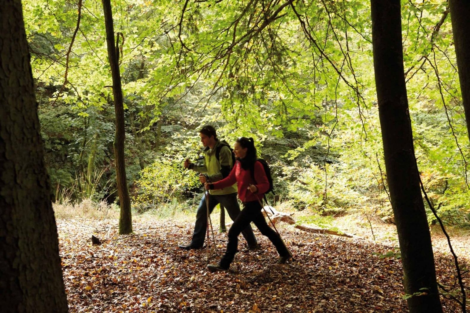
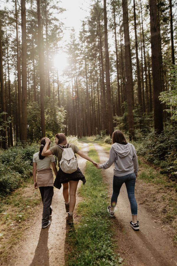
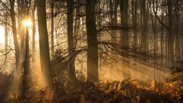
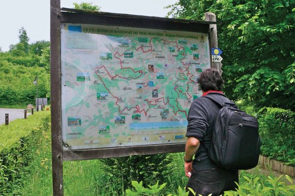
Circular walk Bridel

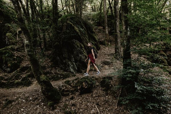
We cross the town in a northern direction and go right towards the forest. We go through the Eechestecken and the Erenzgröndchen and arrive at the Steinsel plateau. We pass a tree nursery and walk through the Buderdall and Wuderdall back to Bridel.
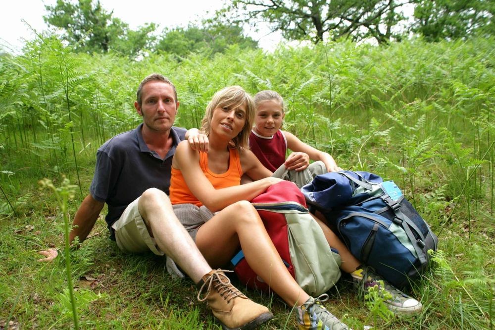
Suggestions nearby

Auto-pédestre trail Bridel

  • ©Visit Guttland
    Roman temple
    Roman temple
    Find out more
  • ©Restaurant Brideler Stuff
    Restaurant Brideler Stuff
    Restaurant Brideler Stuff
    Find out more

Similar hiking tours

©Pancake! Photographie, Visit Guttland
Thematic paths
Nature walk 'Meditation path' Rindschleiden
Distance: 1,49 km
Duration: 0:25 h
Difficulty: easy
Find out more
©Jeniska Photography, Visit Luxembourg
Guttland.Trails
Guttland.Trail Fautelfiels
Distance: 5,40 km
Duration: 1:45 h
Difficulty: easy
Find out more
©Jeniska Photography, Visit Luxembourg
Guttland.Trails
Guttland.Trail Déck Lee
Distance: 5,43 km
Duration: 1:35 h
Difficulty: easy
Find out more
©Jeniska Photography, Visit Guttland
Guttland.Trails
Guttland.Trail Biisser Weier
Distance: 8,65 km
Duration: 2:20 h
Difficulty: easy
Find out more
©Visit Guttland, Visit Guttland
Thematic paths
Cultural walk Mertzig
Distance: 4,00 km
Duration: 1:05 h
Difficulty: easy
Find out more

No image available
Distance trails
36 Station to station Leudelange - Mamer Lycée - Mamer
Distance: 10,96 km
Duration: 2:45 h
Difficulty: easy
Find out more
©Sophie Margue, DGT
Comfort hiking trail Bissen
Distance: 3,08 km
Duration: 1:00 h
Difficulty: easy
Find out more
©Alfonso Salgueiro Photography , Visit Luxembourg
Circular routes
Local hiking trail SA3 - Saeul
Distance: 6,39 km
Duration: 2:00 h
Difficulty: easy
Find out more
©Jeniska photography, DGT
Comfort hiking trail Redange/Attert
Distance: 2,15 km
Duration: 0:40 h
Difficulty: easy
Find out more
outdooractive This website uses technology and content from the Outdooractive Platform.