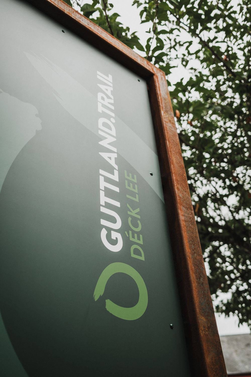
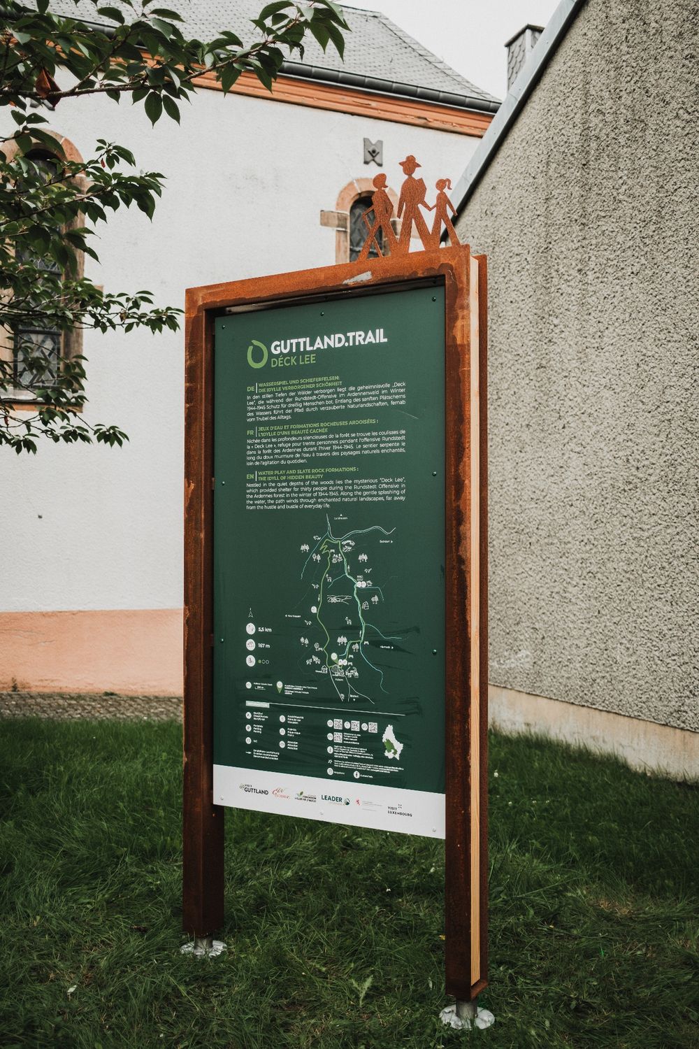
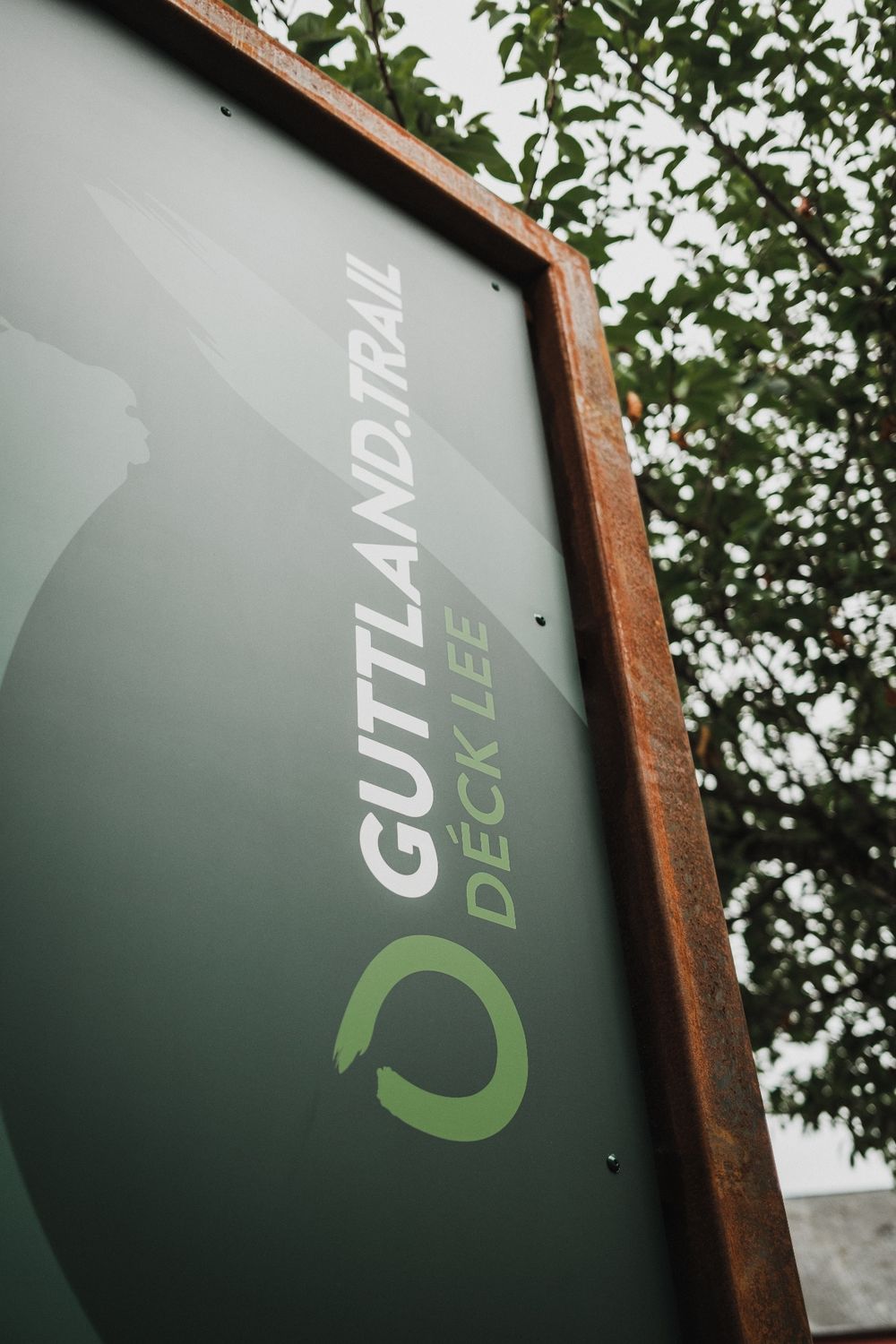
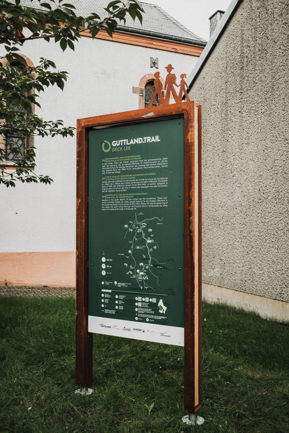
©Jeniska Photography, Visit Luxembourg
Guttland Germany France

Guttland.Trail Déck Lee

Hunting Season 2025/26 — Check for hunts

Autumn is here, and that means hunting season has begun! From mid-October to January/February, hunters are active across the country. Stay safe by checking hunt dates in your area on our Map. 

Click on Map in the Header > Services > More > Hunting.

Starting point

Saint-Luc Church Kuborn: 17K, Rue Théodore Welbes / L-8822 Kuborn

Destination

Saint-Luc Church Kuborn: 17K, Rue Théodore Welbes / L-8822 Kuborn

Distance
5,43 km
Duration
1:35 h
Difficulty
easy
  • Condition
Highest point
490 Hm
Lowest point
363 Hm
Aggregated Ascent
128 Hm
Aggregated Descent
128 Hm
Guttland.Trails V. G.

Description

Tour tip Scenic Dog-friendly

Water play and slate rocks: the idyll of hidden beauty 

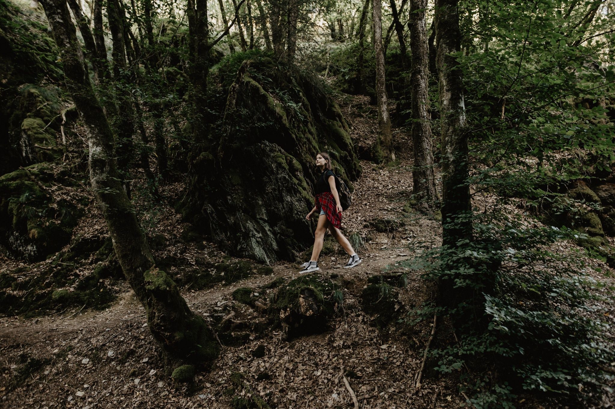
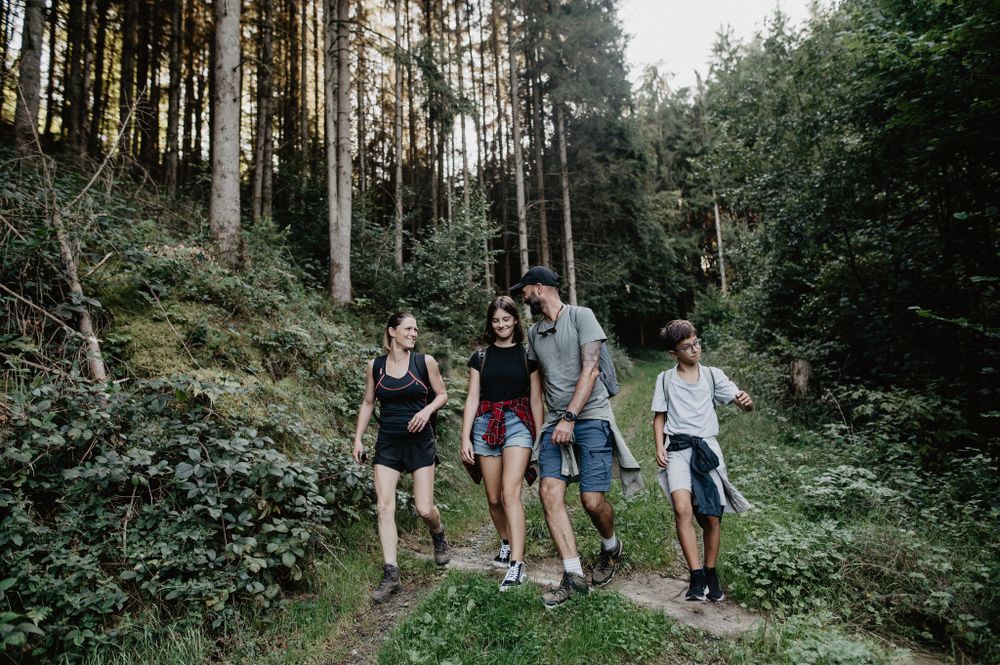
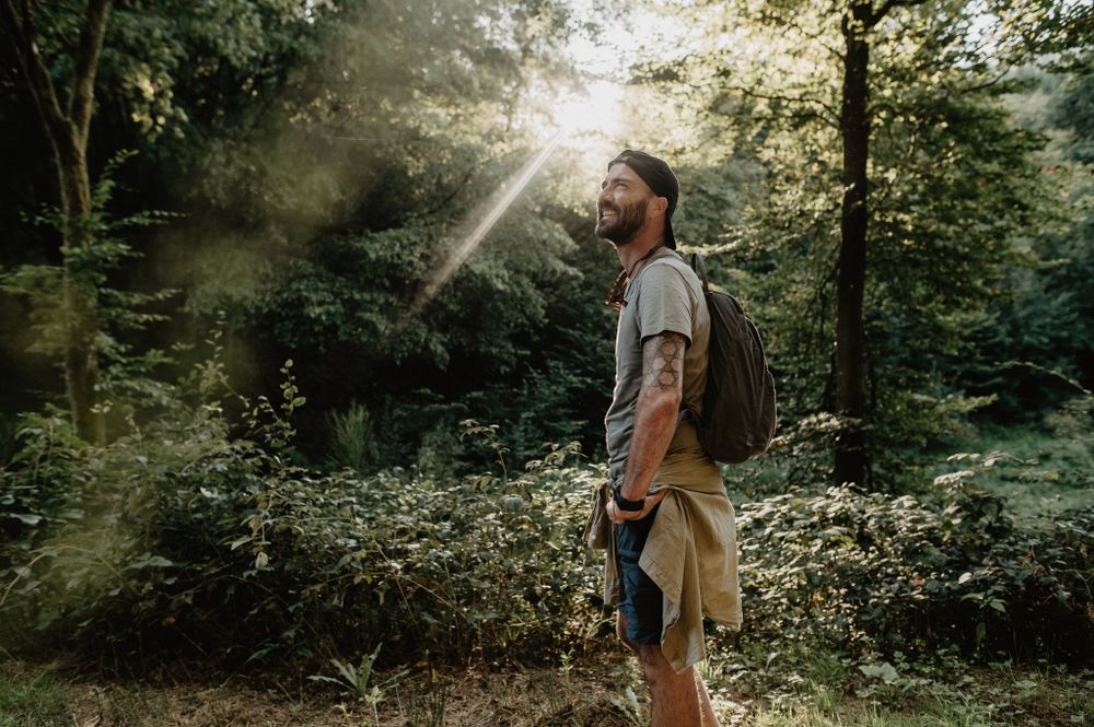
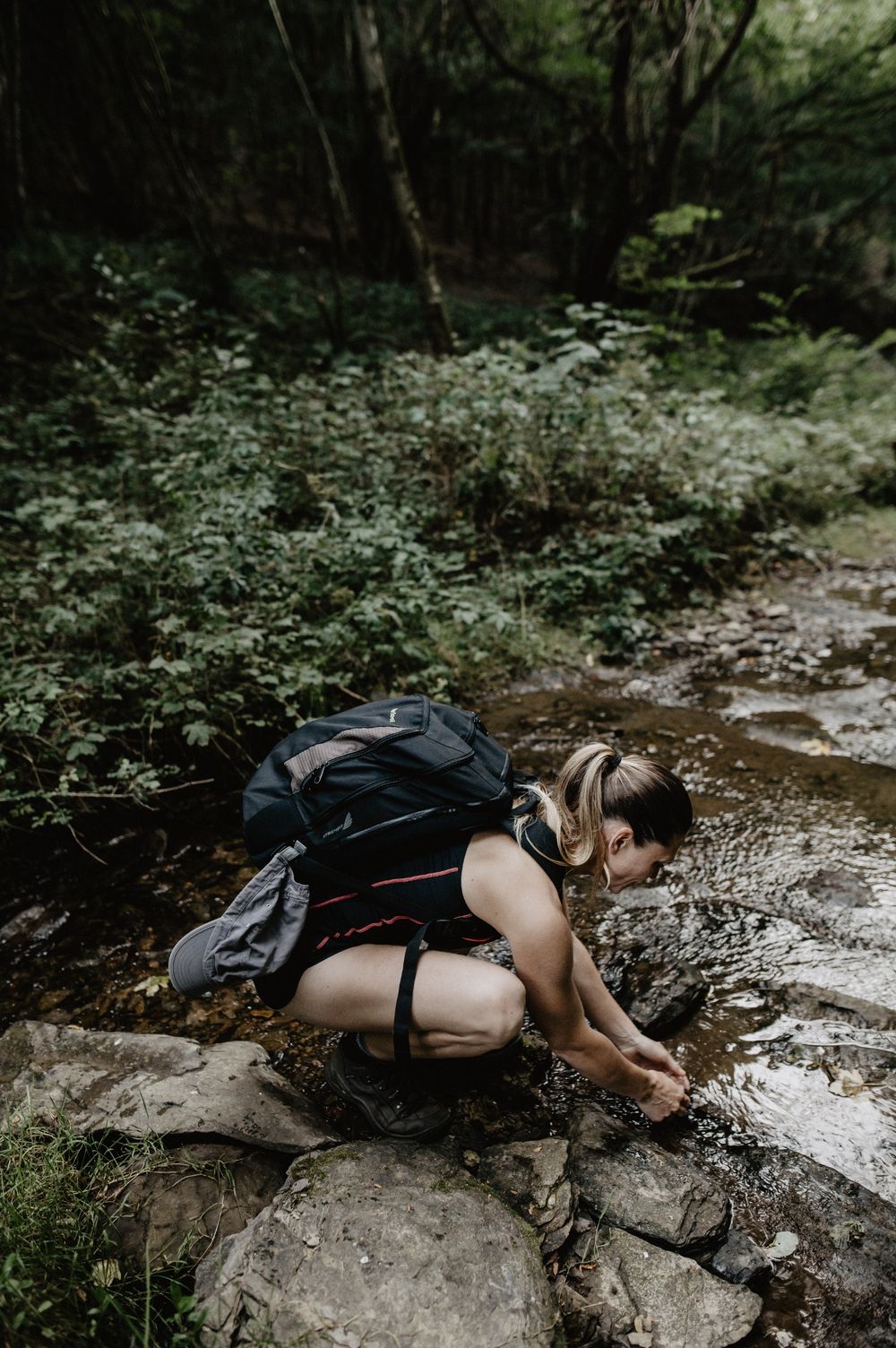
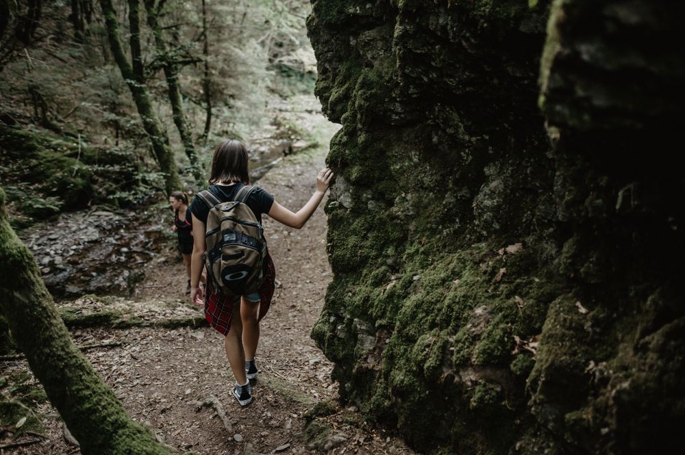
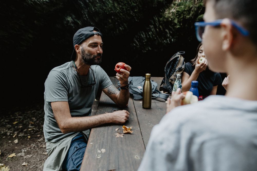
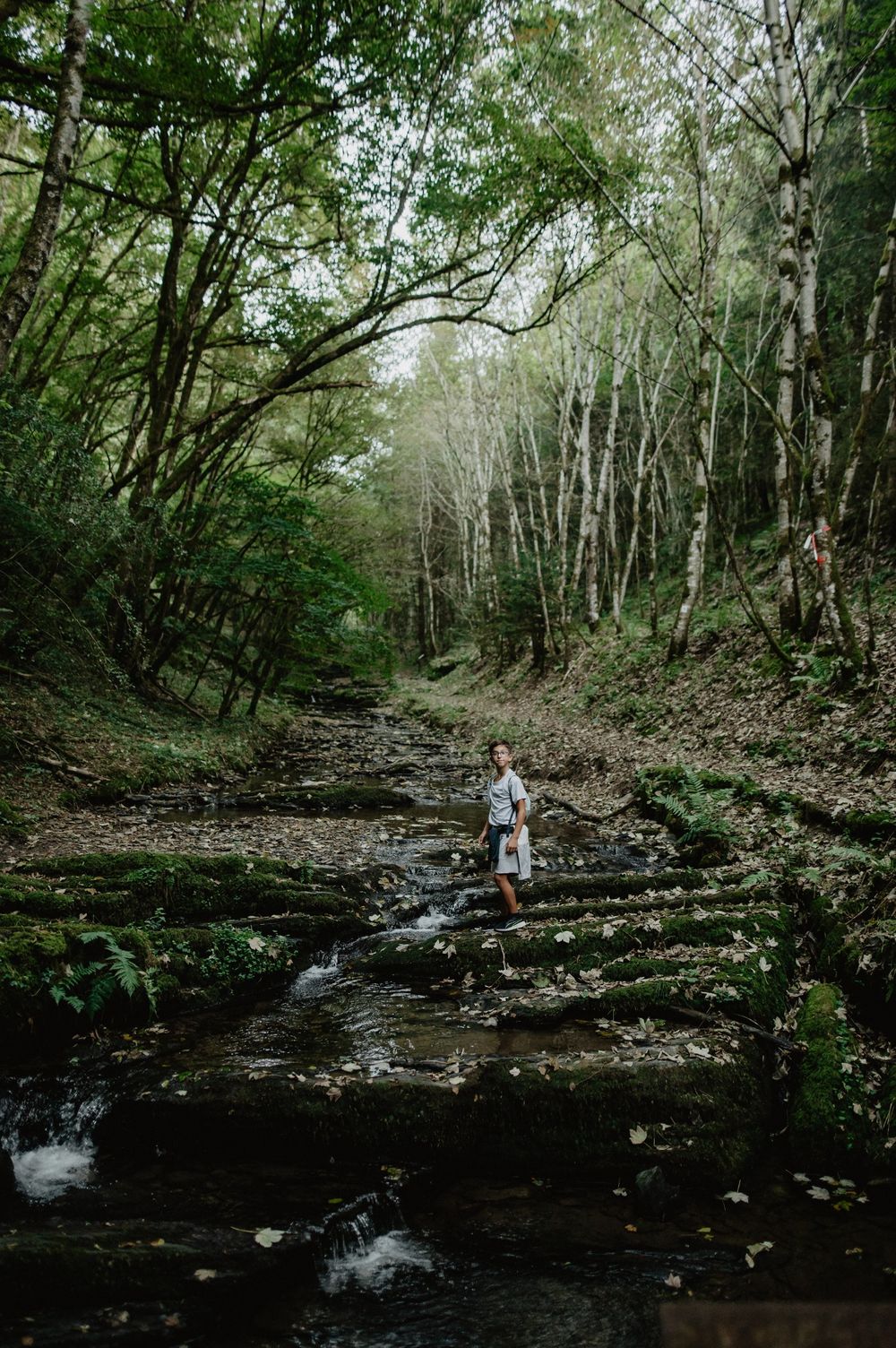
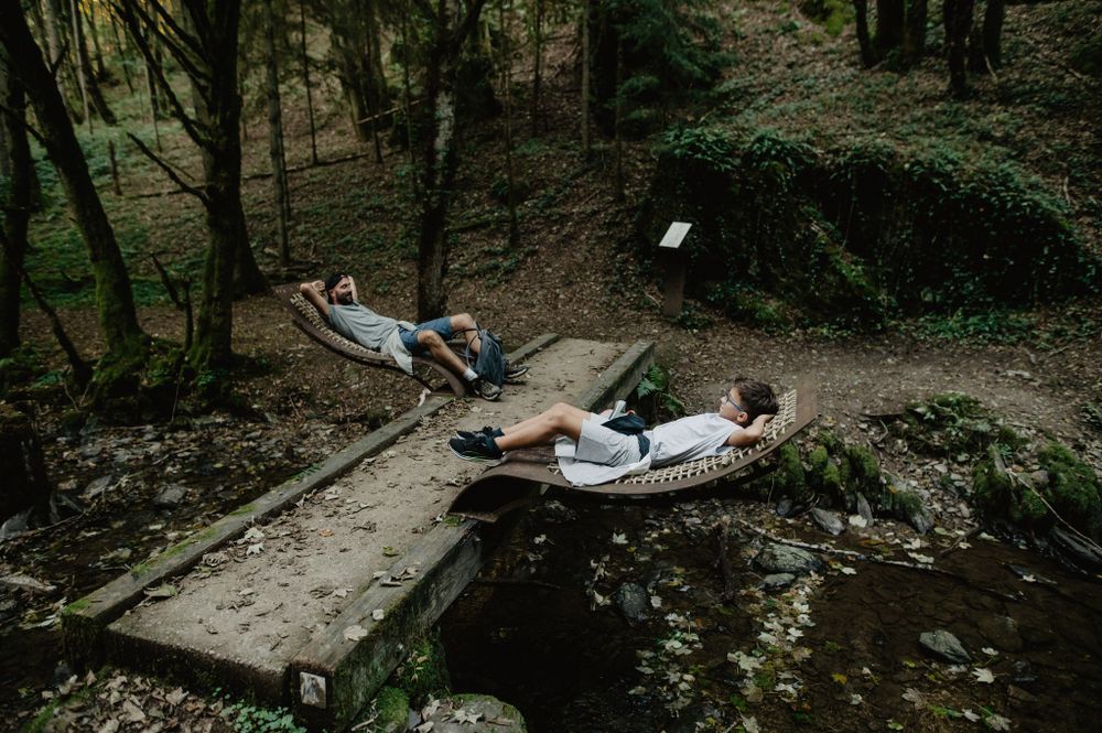
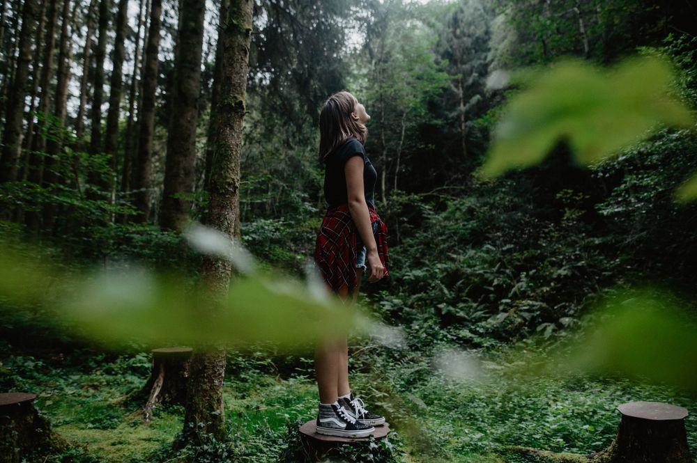
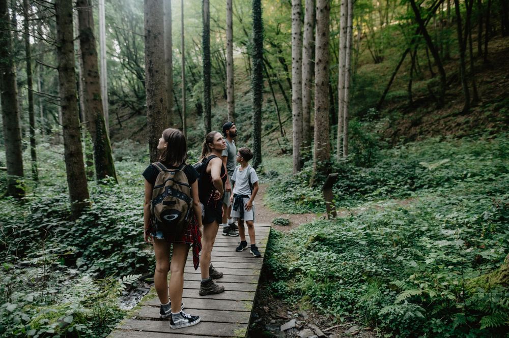
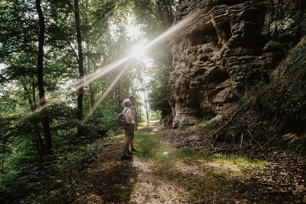
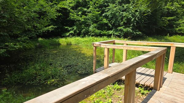
Discover the quiet depths of the forests and the hidden, mysterious “Deck Lee” – a cave that sheltered thirty people during the Rundstedt Offensive in the Ardennes forest in winter 1944-45. A path leads you along the gently babbling water through enchanted natural landscapes, far from the hustle and bustle of everyday life. This hike is perfect for warm days. Slow down and treat yourself to a refreshing foot bath in the creek.

Similar hiking tours

©Pancake! Photographie, Visit Guttland
Thematic paths
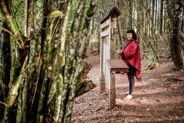
Nature walk 'Meditation path' Rindschleiden
Distance: 1,49 km
Duration: 0:25 h
Difficulty: easy
Find out more
©Jeniska Photography, Visit Luxembourg
Guttland.Trails
Guttland.Trail Fautelfiels
Distance: 5,40 km
Duration: 1:45 h
Difficulty: easy
Find out more
©Jeniska Photography, Visit Guttland
Guttland.Trails
Guttland.Trail Biisser Weier
Distance: 8,65 km
Duration: 2:20 h
Difficulty: easy
Find out more
©Visit Guttland, Visit Guttland
Thematic paths
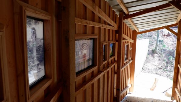
Cultural walk Mertzig
Distance: 4,00 km
Duration: 1:05 h
Difficulty: easy
Find out more

No image available
Distance trails
36 Station to station Leudelange - Mamer Lycée - Mamer
Distance: 10,96 km
Duration: 2:45 h
Difficulty: easy
Find out more
©Sophie Margue, DGT
Comfort hiking trail Bissen
Distance: 3,08 km
Duration: 1:00 h
Difficulty: easy
Find out more
©Alfonso Salgueiro Photography , Visit Luxembourg
Circular routes
Local hiking trail SA3 - Saeul
Distance: 6,39 km
Duration: 2:00 h
Difficulty: easy
Find out more
©Visit Luxembourg
Circular routes
Auto-pédestre trail Bridel
Distance: 7,26 km
Duration: 2:00 h
Difficulty: easy
Find out more
©Jeniska photography, DGT
Comfort hiking trail Redange/Attert
Distance: 2,15 km
Duration: 0:40 h
Difficulty: easy
Find out more
outdooractive This website uses technology and content from the Outdooractive Platform.