Circular routes Visit Luxembourg
Description
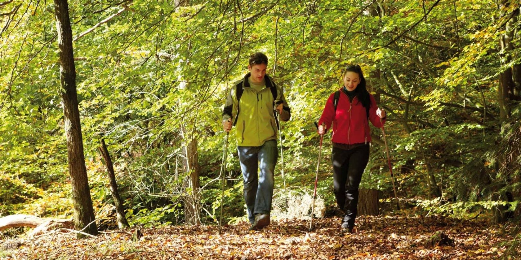
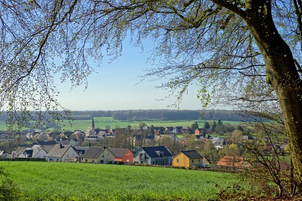
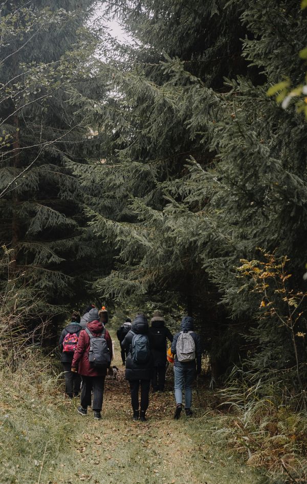
Steinfort circular hiking route
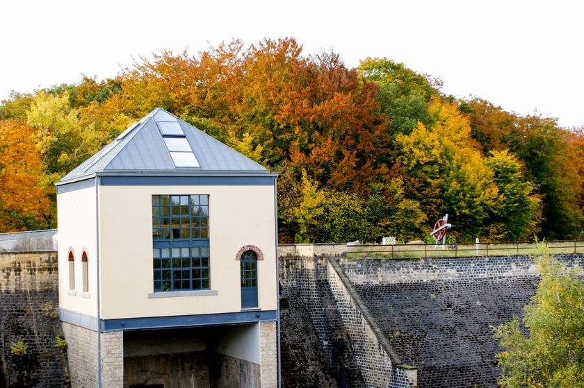
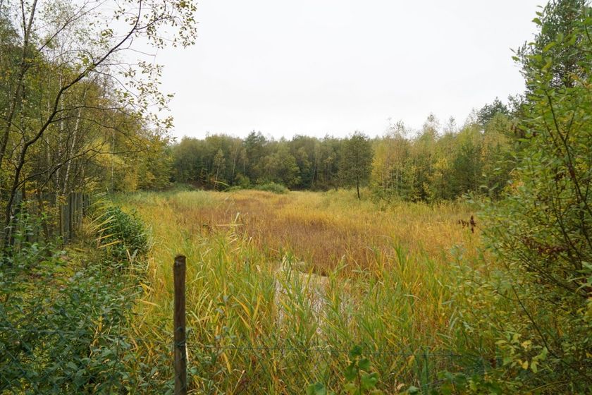
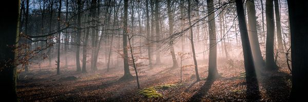
We head west through the village and then follow the course of the Eisch river downstream, which marks the border with Belgium in this area. Shortly before Eischen, we turn around, cross the river and hike back along the Eisch valley. At the former Steinfort dam, we enter the forest towards the Hafferbësch and from there return to the starting point.
Audio
Steinfort mp3Signposting

Equipment
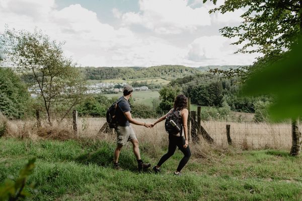
Sturdy footwear is recommended. Also remember to bring something to drink.
Journey
Public transport:
Parking:
Nearest bus stop: Steinfort, Gemeng
Parking:
A parking lot is located directly at the starting point.


 This website uses technology and content from the Outdooractive Platform.