Description
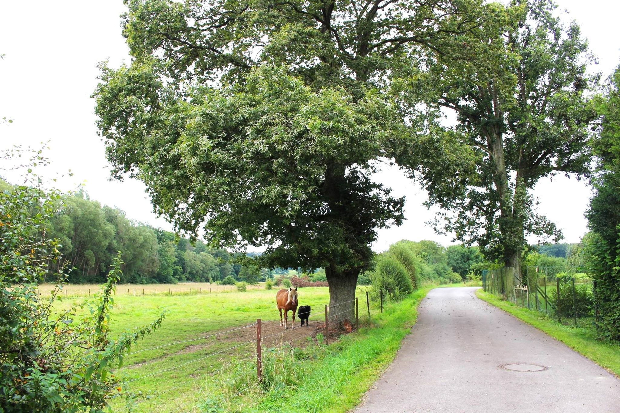
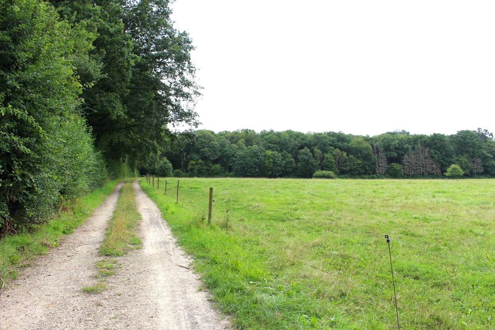
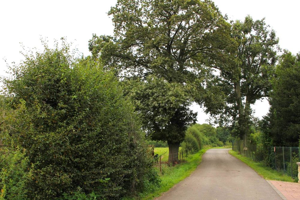
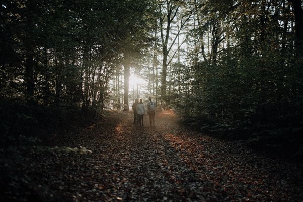
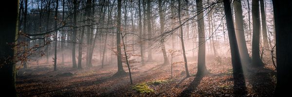
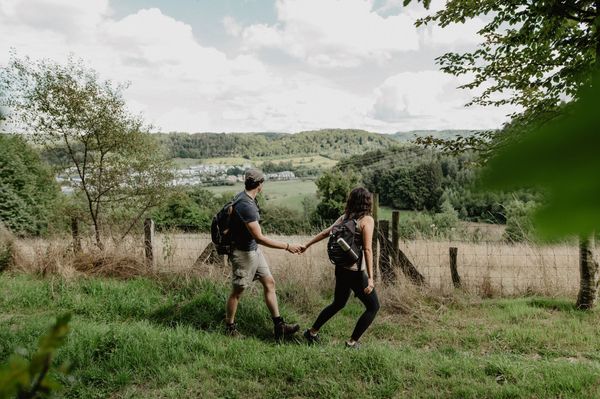
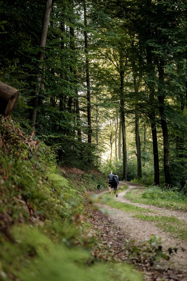
The Auto-Pédestre Leudelange-Gare impresses with lots of forest and open land, as well as predominantly well-walkable paths.
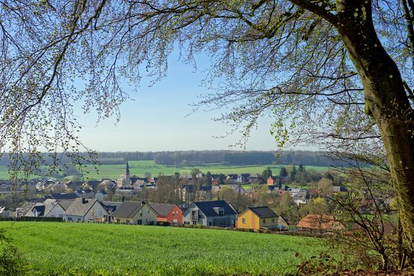
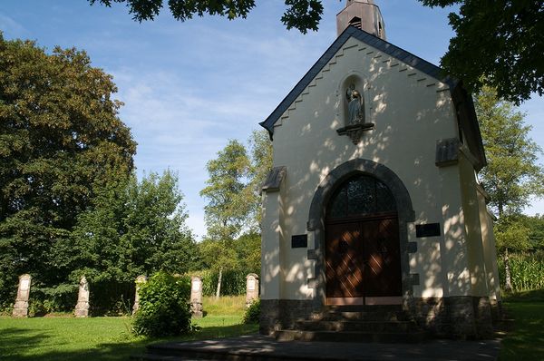
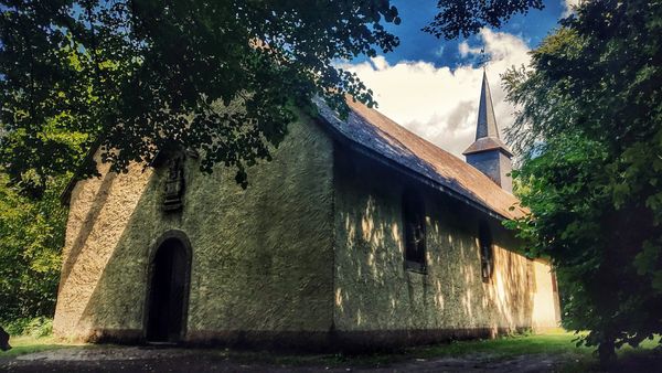
It starts at Leudelange-Gare station and is therefore very well accessible by public transport. In both directions, you walk straight towards the forest, via a narrow winding path you reach Leudelange. Through fields and forest paths, you come across the picturesque village of Roedgen, from here it goes back through the forest to your starting point.
Signposting
Directions
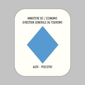
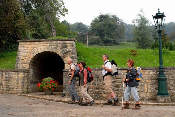
Please follow the signage with the blue diamond on a white background. The hiking trail is marked in both directions.
For your safety
The path is not too demanding. Nevertheless, you should think of sturdy footwear and weather-appropriate clothing.
Equipment
Remember to bring drinking water and provisions for the hike
Journey
Leudelange, Gare station offers direct connections towards Luxembourg City and to Rodange.
Parking:
A free parking lot is available to you.

 This website uses technology and content from the Outdooractive Platform.