Description
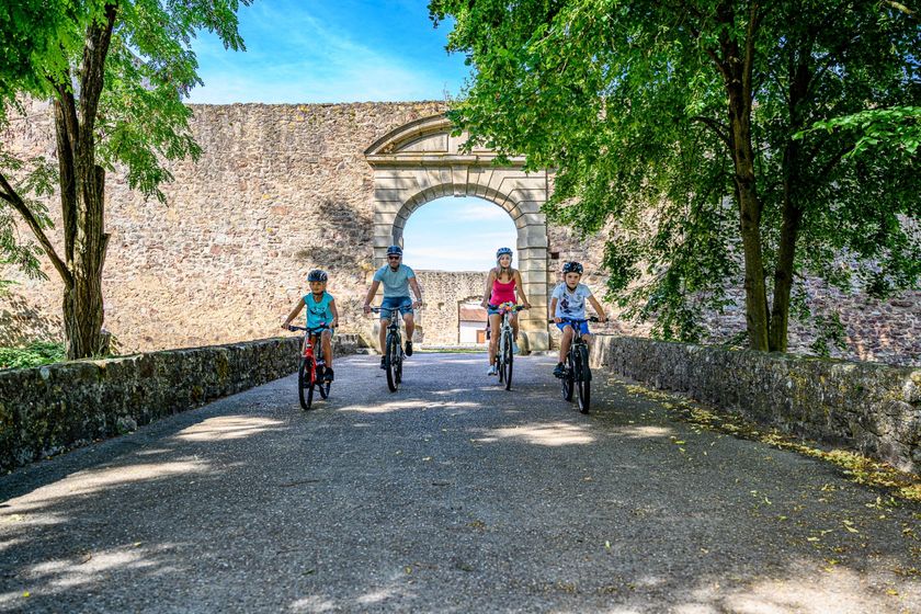
Get ready for an unforgettable cycling experience that immerses you deeply in the history and nature of the enchanting Guttland.
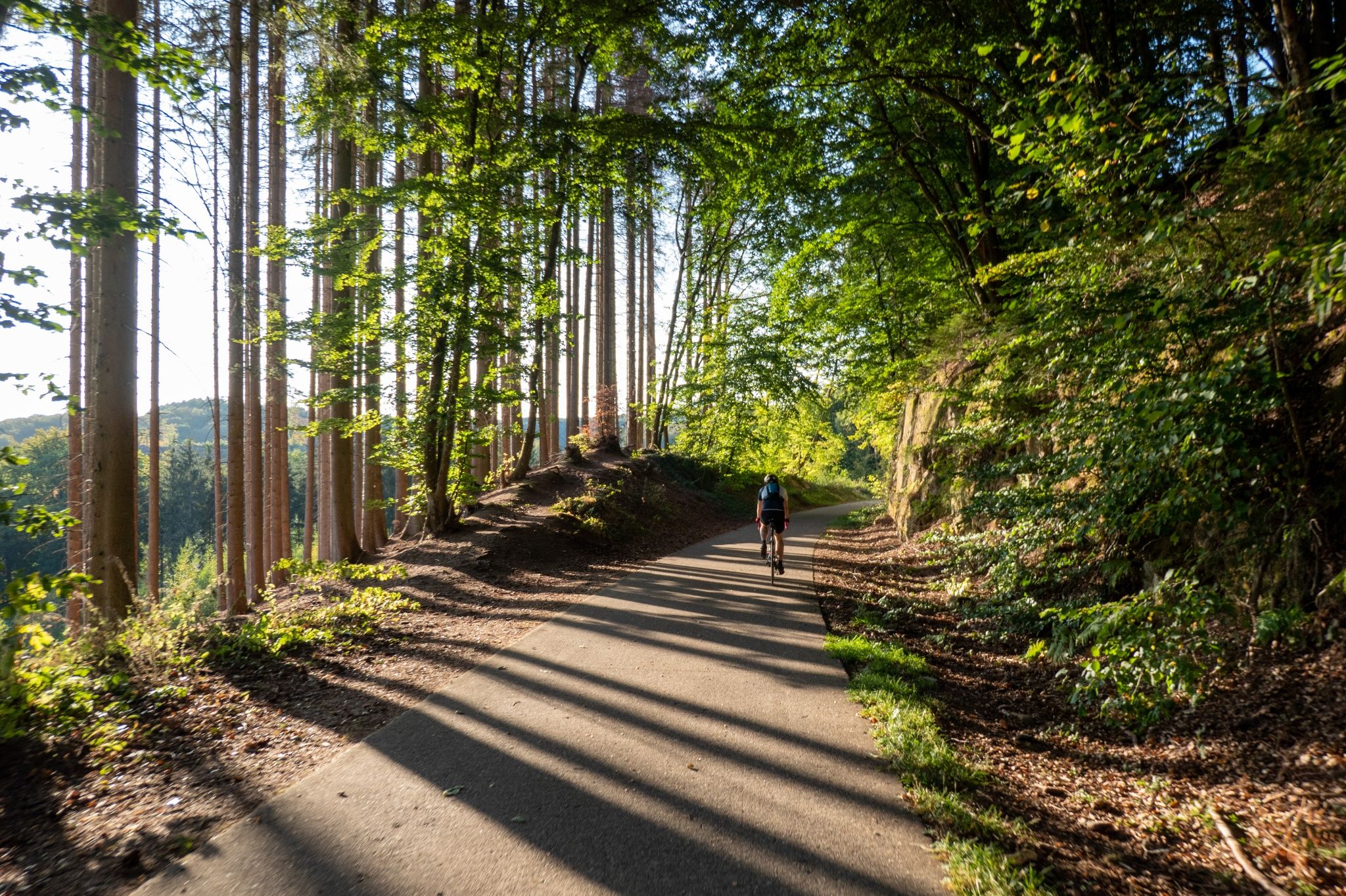
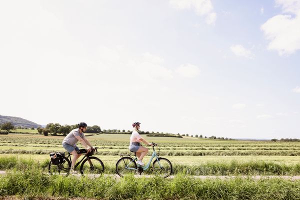
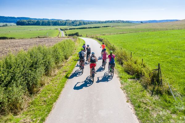
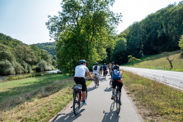
Experience Guttland in Luxembourg on a relaxed "Slow Cycling" route. This unique journey on two wheels takes you along a stretch of 85km (110km with a detour to Pétange) alongside rivers and a former railway track, the Attert line. You pass picturesque villages, admire medieval castle ruins and are enchanted by the diverse nature.
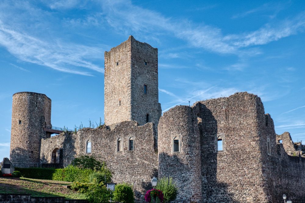
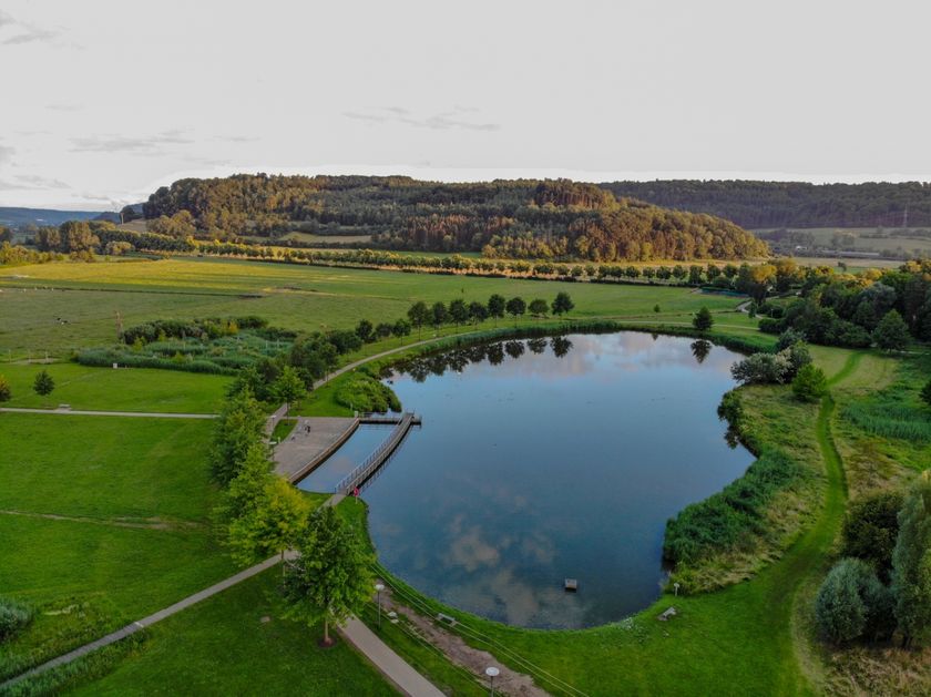
A highlight of the route is the ride through the impressive Schwaarzenhaff nature reserve near Steinfort. Here you will find untouched landscapes and an impressive biodiversity. You also explore an old railway tunnel of the Attert line, as well as the castle of Useldingen, built around 1100, living testimonies of past eras.
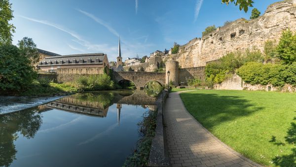
Your path leads you to the vibrant capital Luxembourg City. There, the lift with a glass cabin embedded in the Alzette Valley offers a breathtaking panoramic view. A unique view of the city that you should not miss!
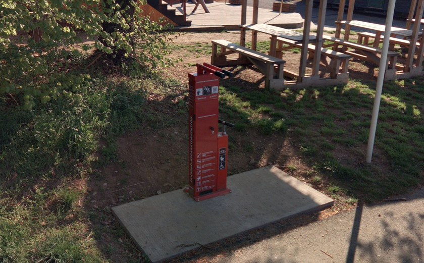
Whether you plan the route as a sporty day trip or a leisurely multi-day trip - you set the pace. Thanks to the marked cycle paths, safety and comfort are always guaranteed, with only a few short sections running on streets with traffic.
Directions
The starting point of this route is the tram station at "Glacis" square, located between the Limpertsberg district and Luxembourg City park. From "Glacis," we follow the tram tracks southwards to "Place de l’étoile." Across "Val Ste Croix" street, which is a "bicycle street," we leave Luxembourg City westward towards Mamer. From the intersection with Rue des Aubépines, we follow the PC1 signposting, which leads us to Strassen and later via "Rue des Romains" to Mamer.
In Mamer, we ride along Rue de la Gare next to the tracks to the railway bridge, where we turn left. From here, we follow the signposted bike path (PC13) and turn right at the second street ("Rue du Baumbusch"). We pass to the north of Holzem and shortly before Garnich reach the N13, which we take left onto. After about 300 meters, we turn right onto Rue de la Forêt and follow the bike path again. Shortly before crossing the highway, the bike path meets PC12, which we follow north.
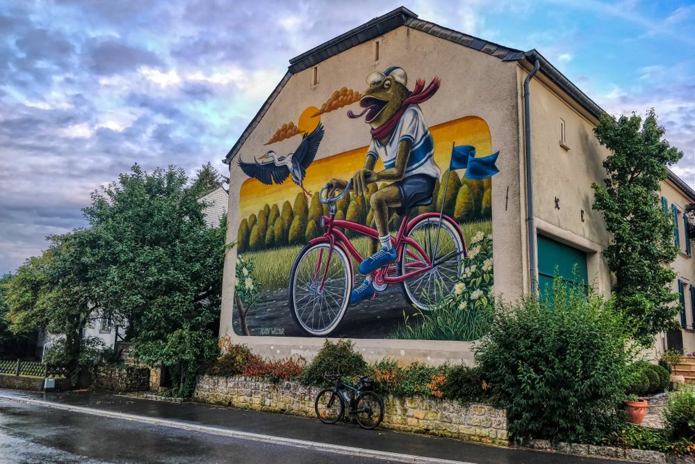
Detour to Pétange: At the intersection with PC12, a former railway line, we can also go south. It is especially worth visiting the former Clemency station, now hosting a nice restaurant with a beautiful terrace and a playground for children. A detour to the village of Kahler is also worthwhile, as many house facades there are sprayed with large and beautiful graffiti motifs.
We ride northwards along the former railway track of the Attert line – the "Prënzebunn" – passing through Hagen and by Steinfort and Eischen before reaching Hovelange through a 700-meter-long illuminated tunnel. Looking left, we see the village of Beckerich at some distance.
In Beckerich, you can extend your route by joining one of the marked circular trails from VeloWest. The "Wisewesttour" and the "Dällchenwesttour" lead you to the heights of the region.
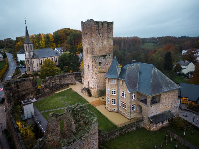
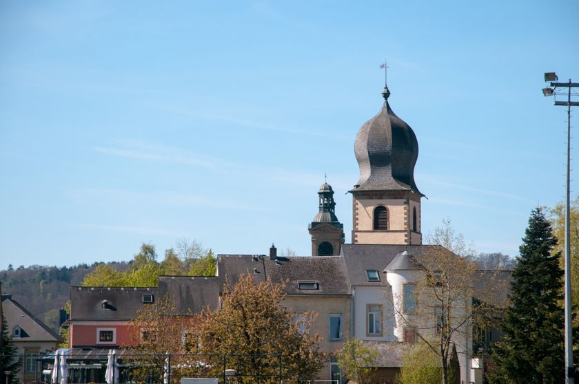
In Beckerich are the buildings of "Eaux de Beckerich," which export many millions of liters of mineral water to half of Europe annually. At the former mill in Beckerich, there is a nice small restaurant where you can stop. Behind Noerdange, the national bike path PC17 begins towards Arsdorf; however, we stay on PC12, which leads us to Useldange. In Useldange, you should take some time to visit the renovated castle. There are also several nice places to relax in the village. From Useldange, the bike path runs along the Attert through the villages of Boevange-sur-Attert and Bissen to Colmar-Berg.
There, we continue on the road, pass the Goodyear factory, and ride a stretch on Avenue Gordon Smith (N22), before turning left onto Rue des Ecoles. We reach Allée Grande-Duchesse Charlotte. Here, PC12 ends, and we follow PC15 to the right over the railway tracks. Behind the tracks, we turn left onto a bike path that crosses the Alzette twice, once under the N7 and once under the highway, leading to the riverbank. We pass Cruchten and Pettingen, ride through Mersch, skirt Lintgen, and enter Beggen, located at the gates of the capital between Steinsel and Walferdange. We continue on the bike path until we reach Pfaffental via Dommeldingen and Laval Park. There, we take the panorama lift up to the Pescatore Foundation Park. From there, we continue along Avenue de la Porte-Neuve into Luxembourg City Park, from where we return to the starting point of the route.
Descriptions of the villages along the route:
Mamer: The city is of Gallo-Roman origin and lies on the former Roman road «Kiem», which led from Reims to Trier. Worth seeing are the 18th-century parish church and the remains of Roman baths from the 1st century. The best-known citizens of the town were certainly the philosopher Nikolaus Wagner, born in 1500 – also known as Nicolaus Mameranus – the Tour de France winner of 1927 and 1928 Nicolaus Frantz, and the 1952 Olympic champion over 1500 meters, Josy Barthel.
Steinfort: The town, located on the Belgian border, is considered the gateway to the "Valley of the Seven Castles," through which the Eisch flows. The former ironworks (Al Schmelz) of the former industrial center have been restored and now serve as a museum and cultural center.
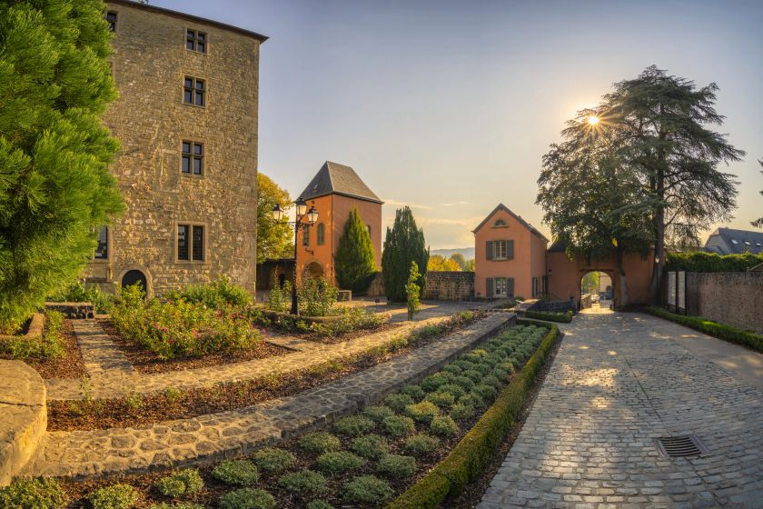
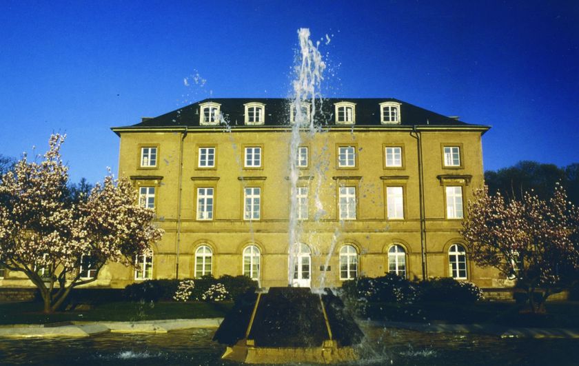
Colmar-Berg: Not only impressive are the facilities of the tire manufacturer Goodyear, which operates a research center and test track here. Also impressive is Berg Castle with its extensive park, where the Grand Ducal family has resided since 1911.
Walferdange: With about 8,500 inhabitants, it is one of the largest municipalities in Luxembourg. The town was already settled in Roman times, as evidenced today by the remains of an extensive villa in Helmsange and the impressive tunnels of an underground aqueduct, the Qanat des Raschpëtzer. Walferdange lies on the western edge of the "Gréngewald," one of the largest forest areas in the country.
For your safety
The route runs on a street only for a few short sections.
Journey
Bus/ Tram: Theater
Parking:
The starting point of the route is at Parking Glacis (paid)


 This website uses technology and content from the Outdooractive Platform.