Circular routes Visit Luxembourg
Description
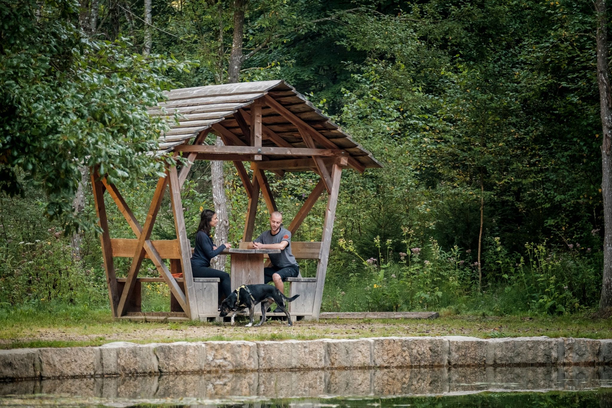
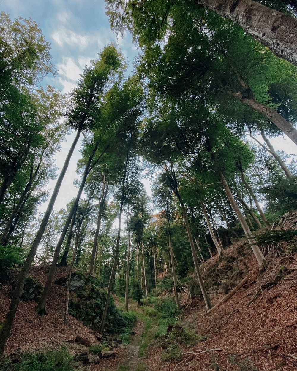
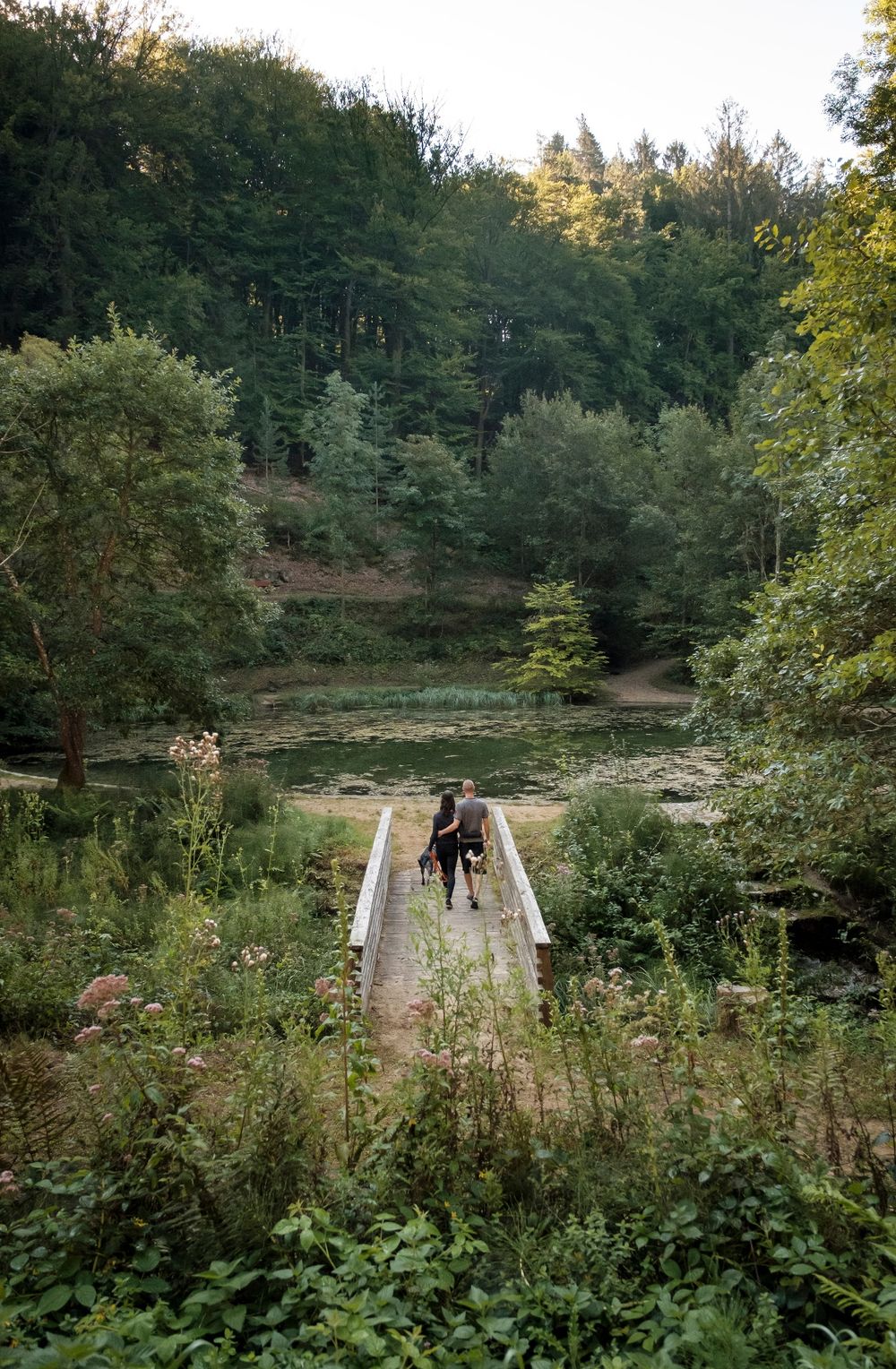
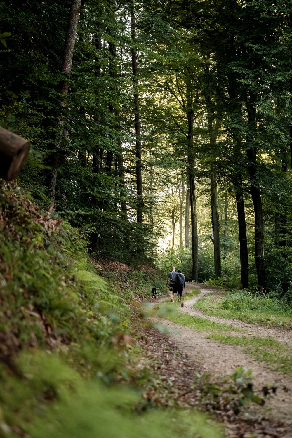
Varied and sporty circular hiking route in Lintgen that leads through rocky landscapes and deep forests.
We first go through the village and the valley of the Kaasselterbaach before hiking up into the forest. In a large loop, the route goes around Laaschent as well as past Kieker and Buerbierg back to the starting point. The route partly follows the national hiking trail "Sentier de l’Alzette".
For your safety
Sure-footedness required, partly strongly root-covered paths.
Equipment
Sturdy footwear is recommended. Also remember to bring something to drink.
Journey
Public transport:
Parking:
Nearest bus stop: Lintgen, Kräizung
Train station: Lintgen Gare
Parking:
A parking lot is located directly at the starting point.


 This website uses technology and content from the Outdooractive Platform.