Starting point
Near the church of Brouch
Destination
Near the church of Brouch
Distance
4,44 km
Duration
1:20 h
Difficulty
easy
  • Condition
Highest point
373 Hm
Lowest point
289 Hm
Aggregated Ascent
106 Hm
Aggregated Descent
106 Hm
Circular routes Visit Luxembourg

Description

Circular walk Brouch

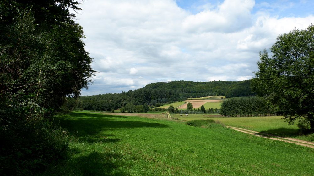
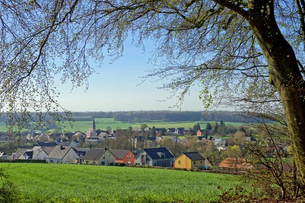
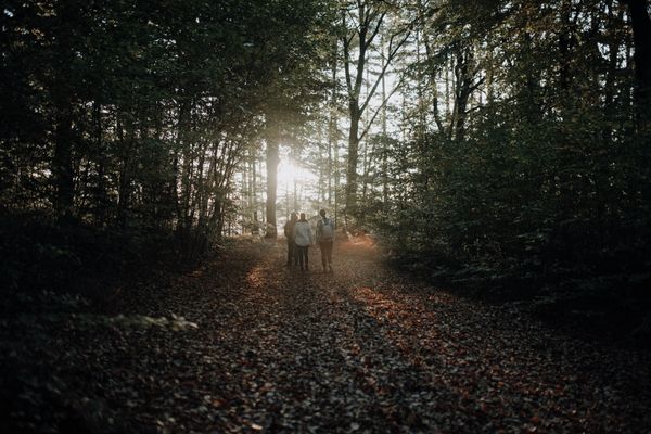
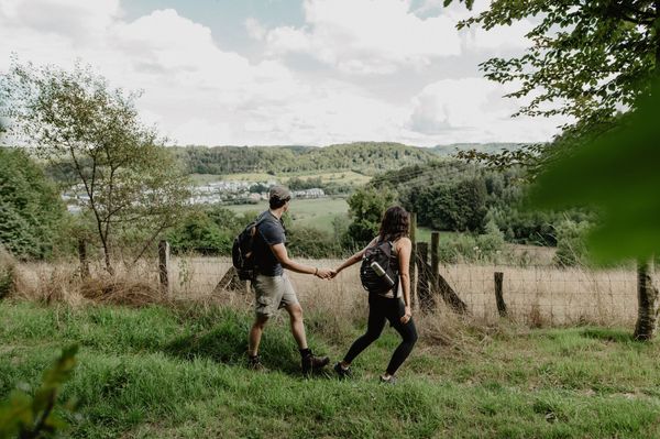
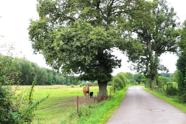
The route goes through the village in a northern direction towards the Bricherknapp plateau. It then goes downhill, around the Koulbiech and back to the starting point.


Please make sure to enable your Cookies in case you don't see this content.

Suggestions nearby

Auto-pédestre trail Brouch

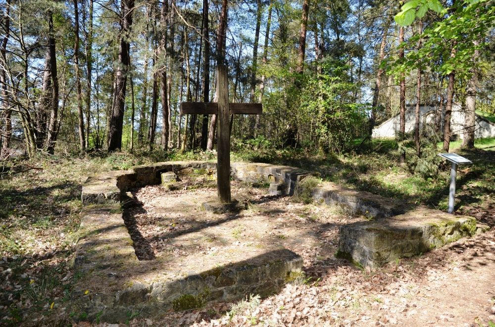
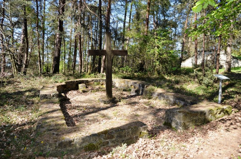
  • Chapel Bricherknäppchen
    Chapel Bricherknäppchen
    Find out more

Similar hiking tours

© Visit Luxembourg
Distance trails
36 Station to station Leudelange - Mamer Lycée - Mamer
Distance: 10,96 km
Duration: 2:45 h
Difficulty: easy
Find out more
© Visit Luxembourg
Circular routes
Auto-pédestre trail Bereldange
Distance: 7,85 km
Duration: 2:15 h
Difficulty: easy
Find out more
© Visit Luxembourg
Circular routes
Auto-pédestre trail Beringen
Distance: 5,86 km
Duration: 1:46 h
Difficulty: easy
Find out more
© Visit Luxembourg
Circular routes
Auto-pédestre trail Bertrange
Distance: 7,31 km
Duration: 1:49 h
Difficulty: easy
Find out more
© Visit Luxembourg
Circular routes
Auto-pédestre trail Bridel
Distance: 7,26 km
Duration: 2:00 h
Difficulty: easy
Find out more
© Jeannot Weber, Visit Guttland
Circular routes
Auto-pédestre trail Buschdorf
Distance: 8,30 km
Duration: 2:24 h
Difficulty: easy
Find out more
© Visit Luxembourg
Circular routes
Auto-pédestre trail Eischen 2
Distance: 5,21 km
Duration: 1:34 h
Difficulty: easy
Find out more
© Alfonso Salgueiro, Visit Guttland
Circular routes
Auto-pédestre trail Gréngewald
Distance: 4,96 km
Duration: 1:20 h
Difficulty: easy
Find out more
© Visit Luxembourg
Circular routes
Auto-pédestre trail Mamer II
Distance: 6,40 km
Duration: 1:40 h
Difficulty: easy
Find out more