Beschrijving
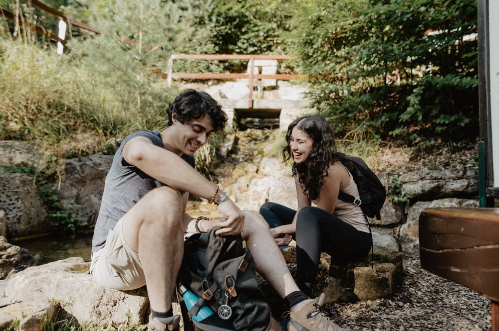
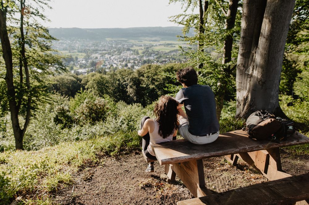
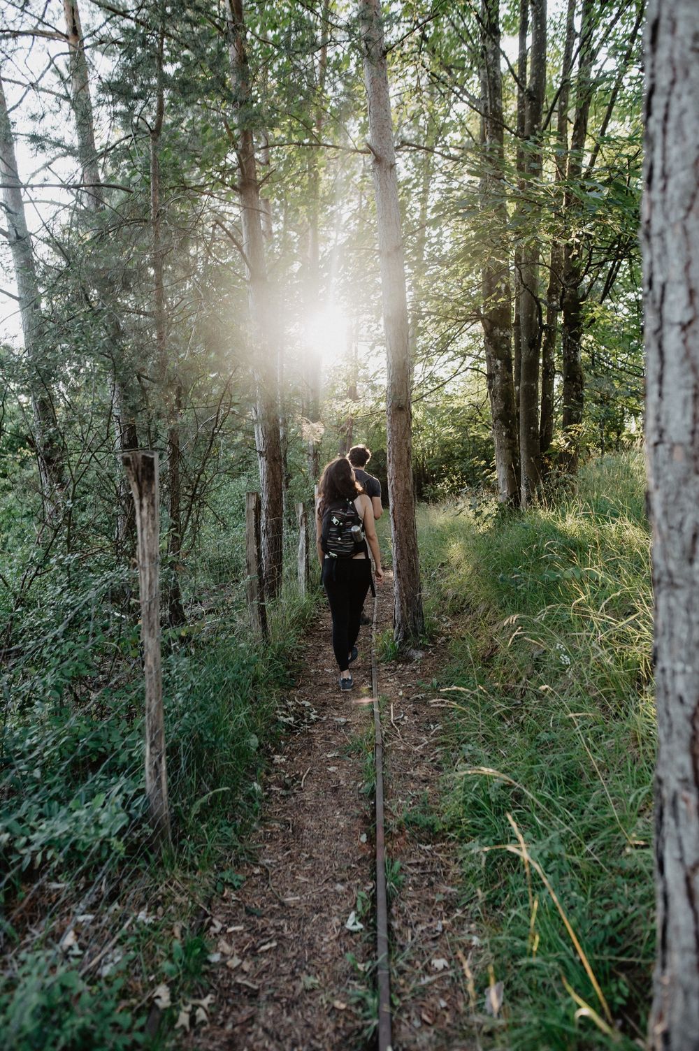
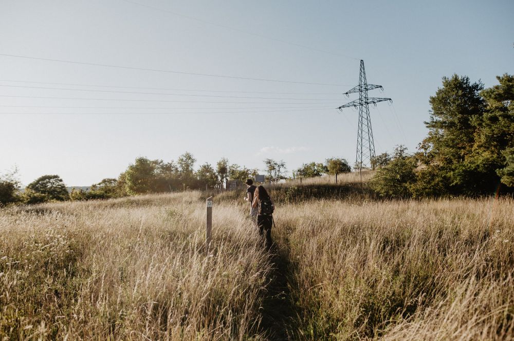
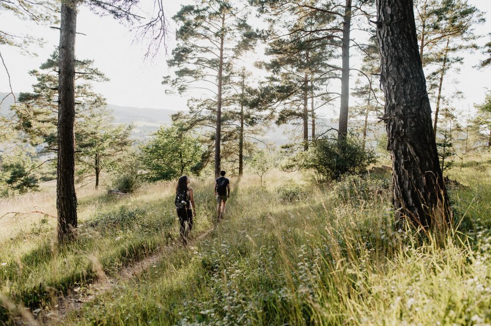
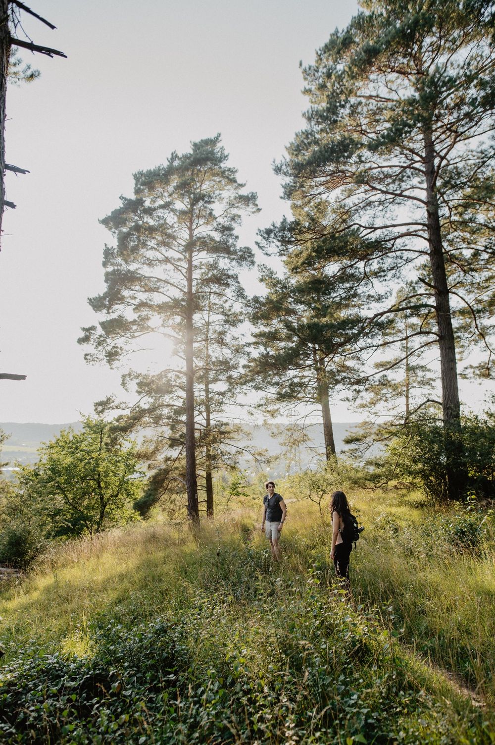
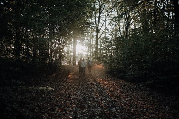
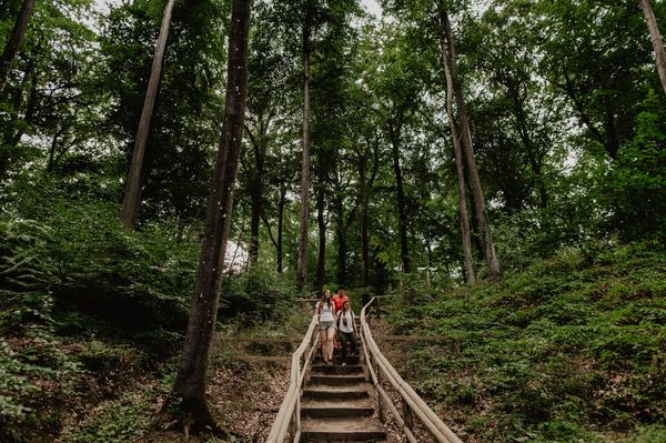
Geschiedenis midden in de prachtige natuur.
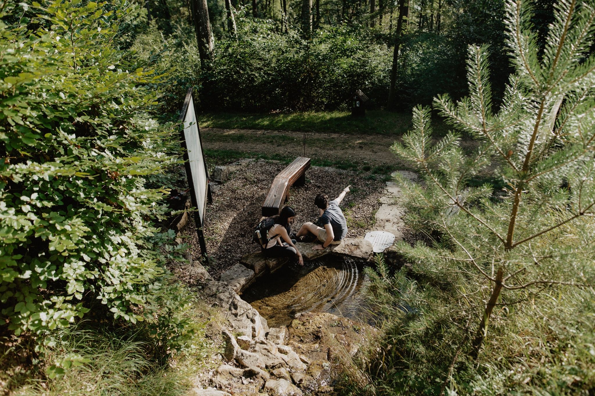
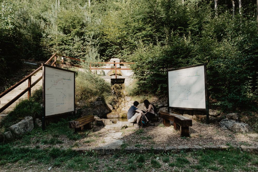
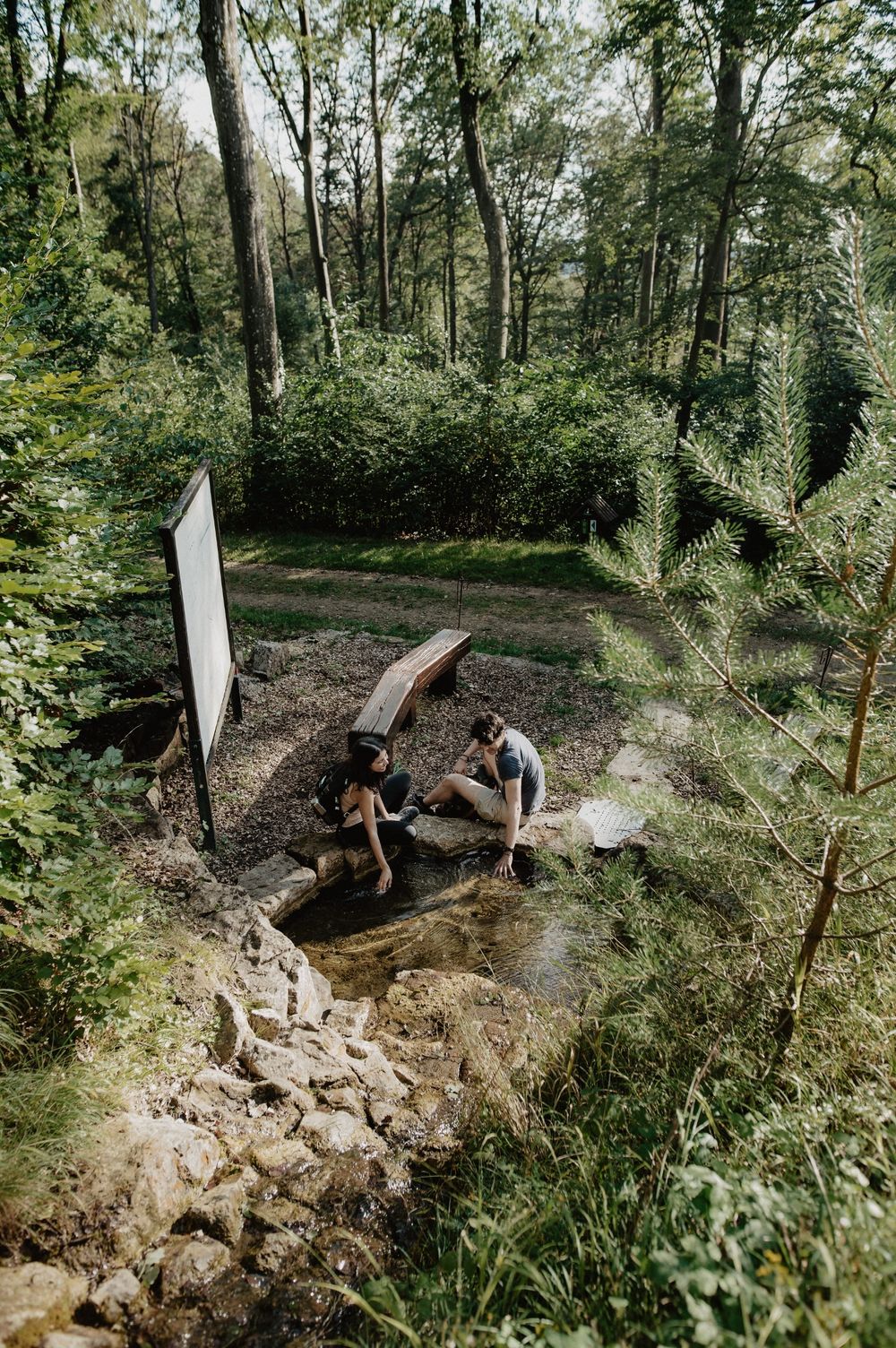
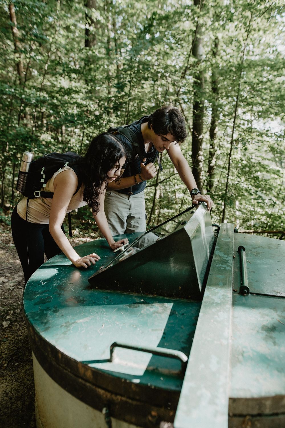
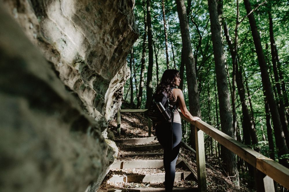
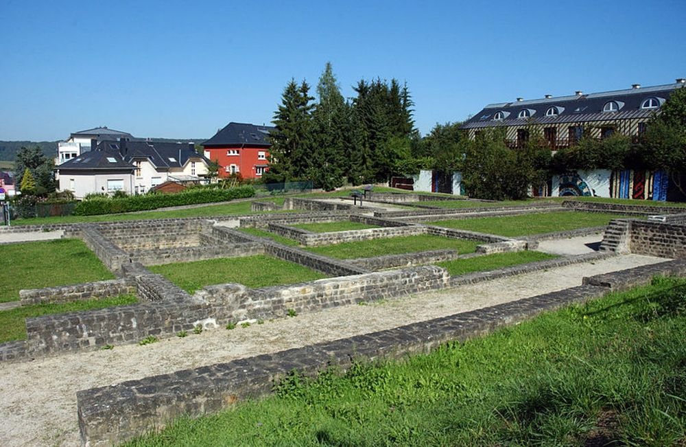
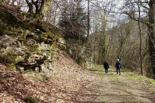
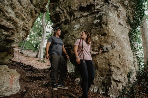
Deze ontdekkingstocht voert door het unieke natuurgebied "Sonnebierg" - langs oude spoorlijnen die toentertijd verbonden waren aan de in stilgelegde gipsmijnen in Walferdange - naar het indrukwekkende "Raschpëtzer"-complex, een nog intact ondergronds aquaductsysteem met imposante afmetingen uit Gallo- Romeinse tijden. Ga mee op een spannende reis door de tijd.
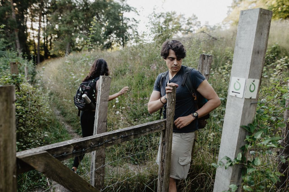
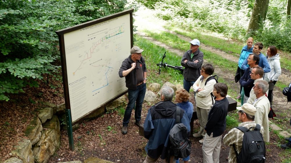
Bewegwijzering

Wegbeschrijving
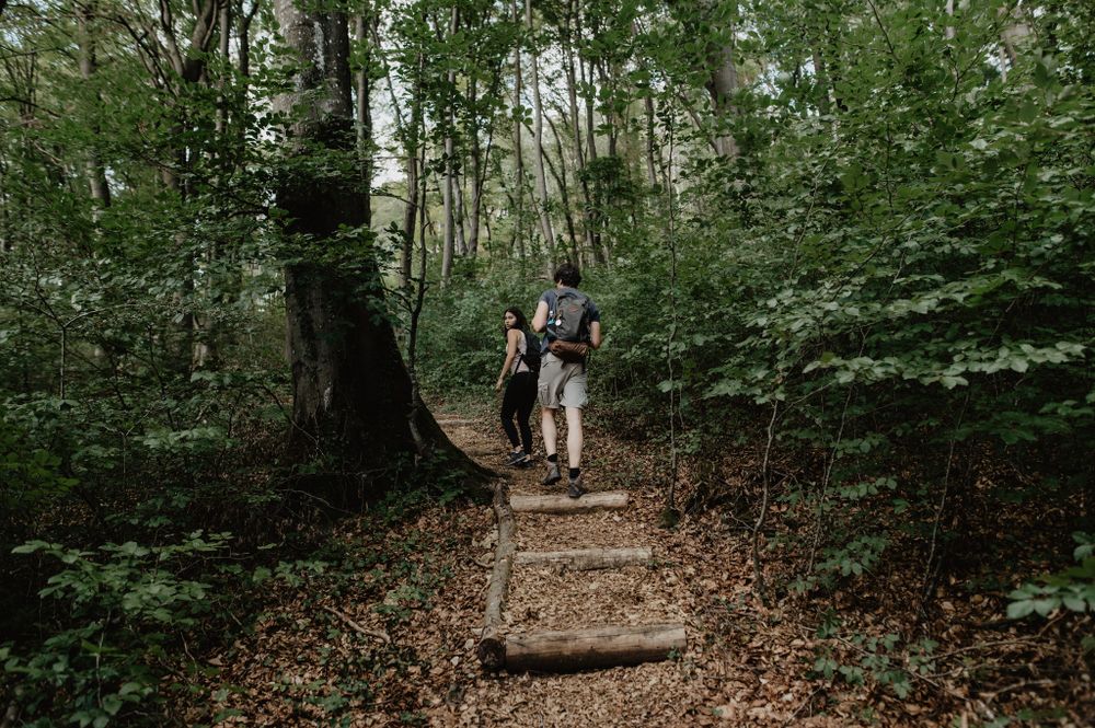
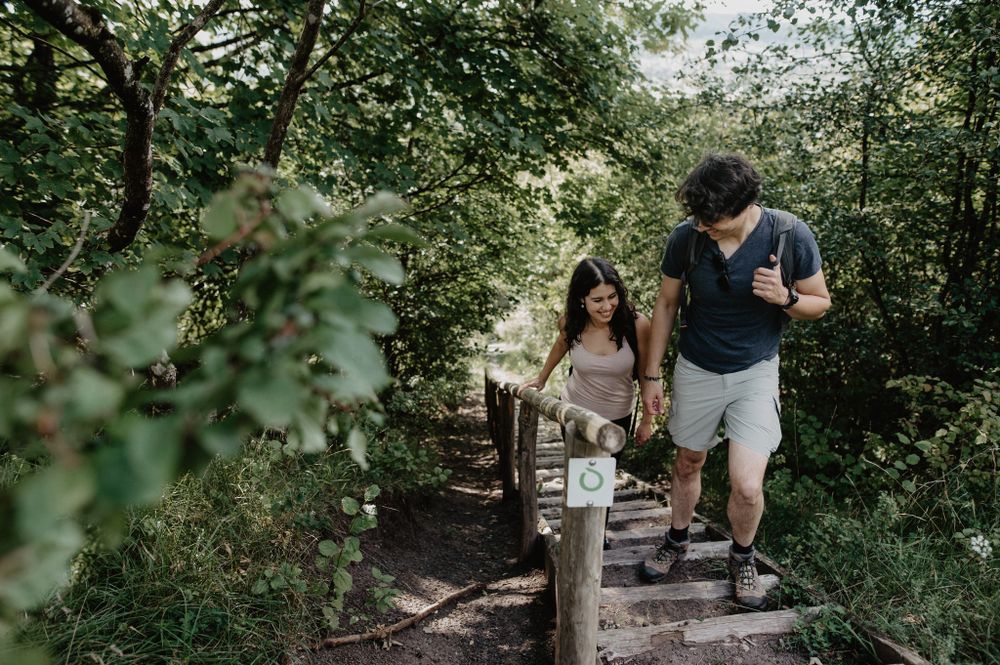
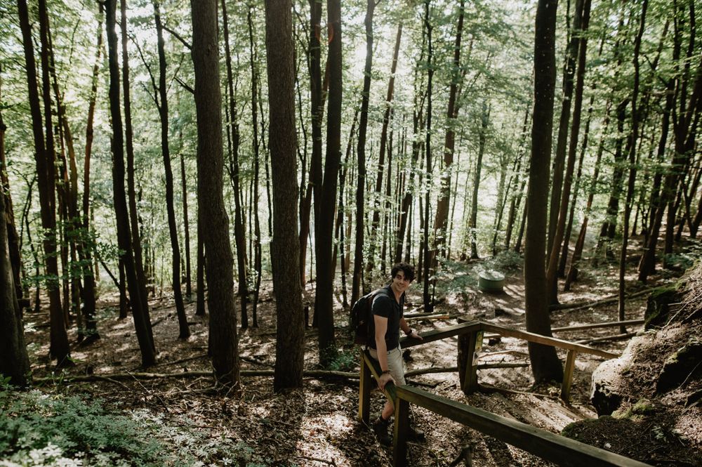
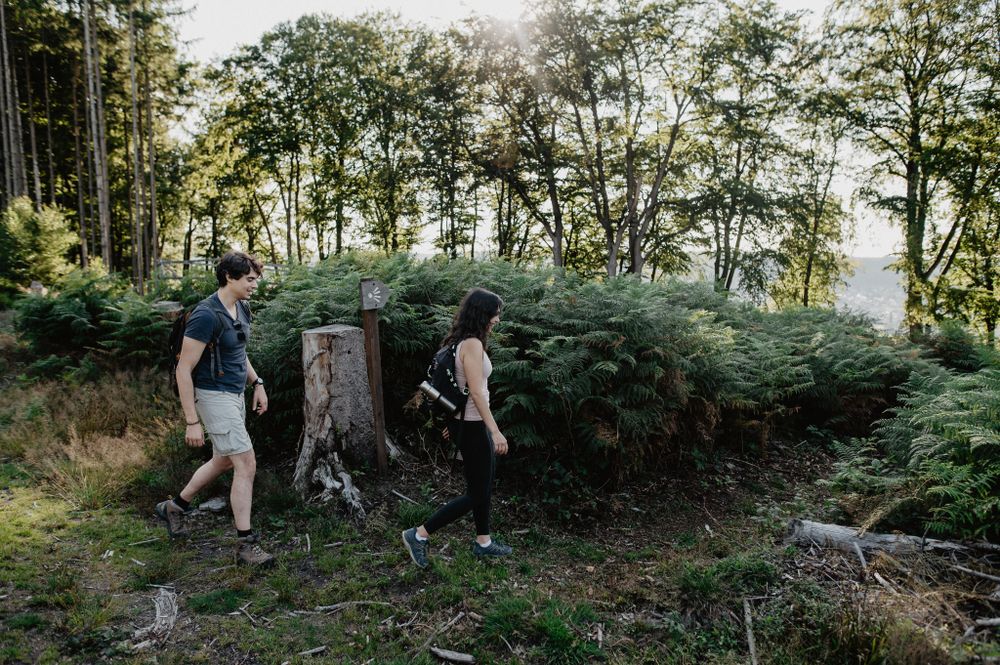
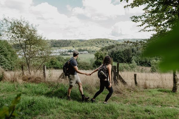
Het wandelpad is gemarkeerd in beide looprichtingen. Volg de wit-groene markeringen.
Veiligheidsaanwijzingen
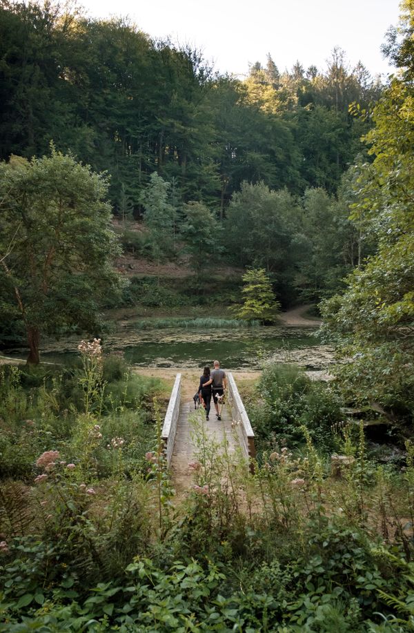
Weersomstandigheden zoals nattigheid, ijs en wind kunnen een tocht bemoeilijken. De gegeven informatie heeft betrekking op optimale omstandigheden.
Uitrusting
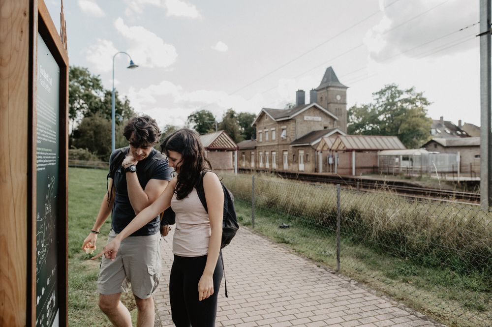
Aankomst
Maak gebruik van het gratis openbaar vervoer en reis klimaatvriendelijk met bus en trein.
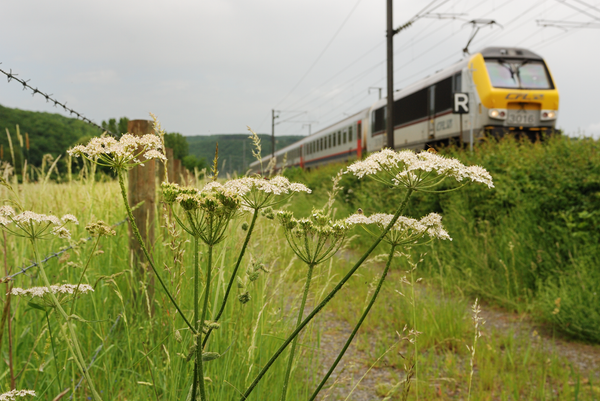
Dichtstbijzijnde treinstation: Walferdange.
Parking:
Parkeerplaatsen bevinden zich bij het treinstation.


 Deze website maakt gebruik van technologie en inhoud van het Outdooractive Platform.