Guttland.Trails Visit Luxembourg
Beschrijving
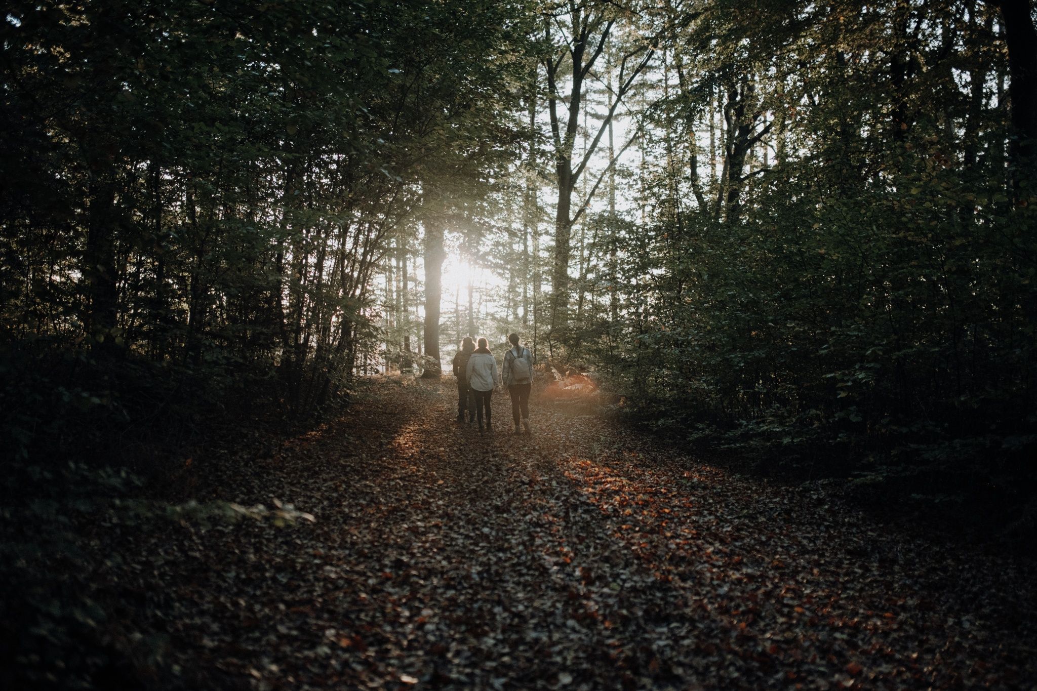
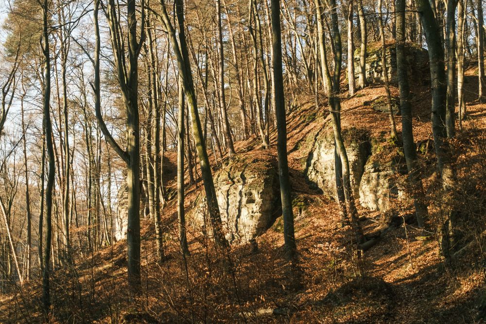
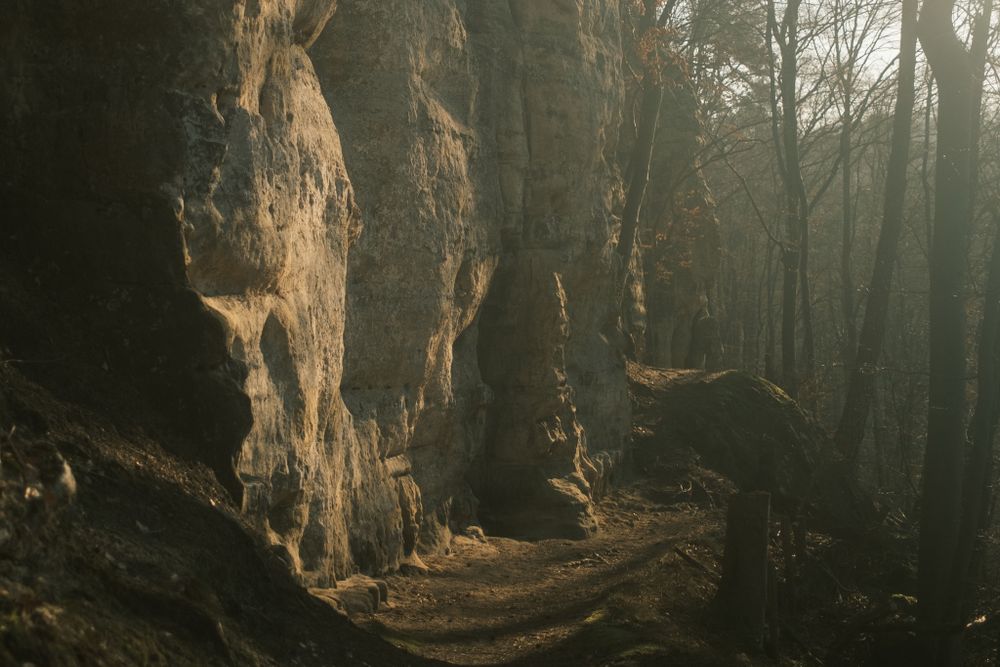
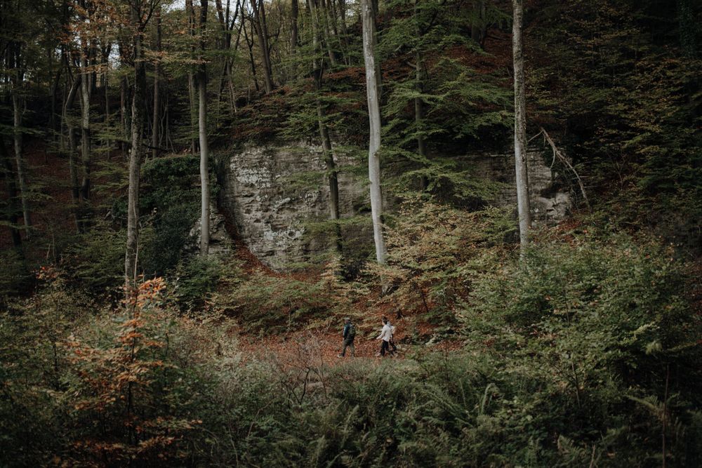
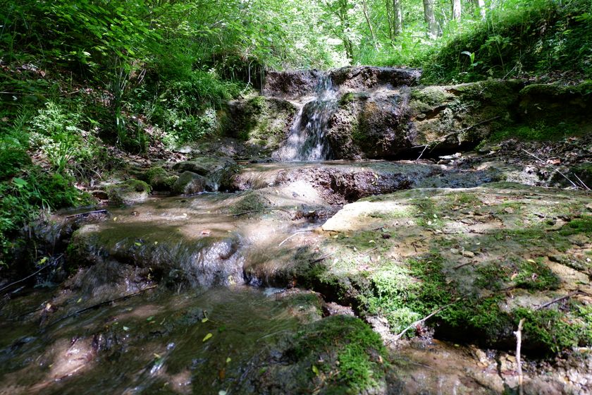
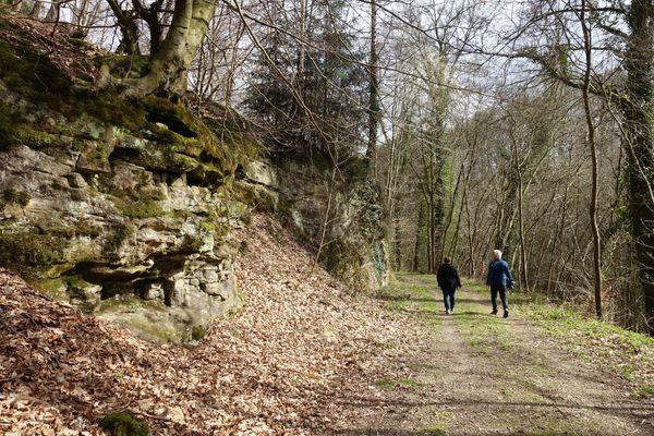
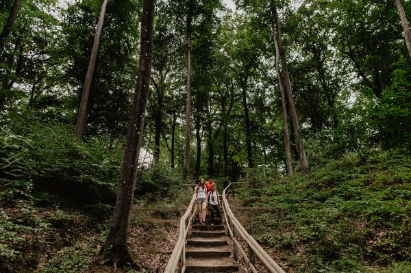
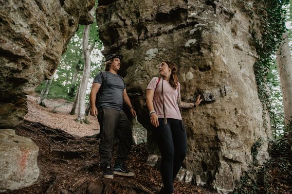
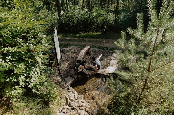
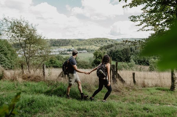
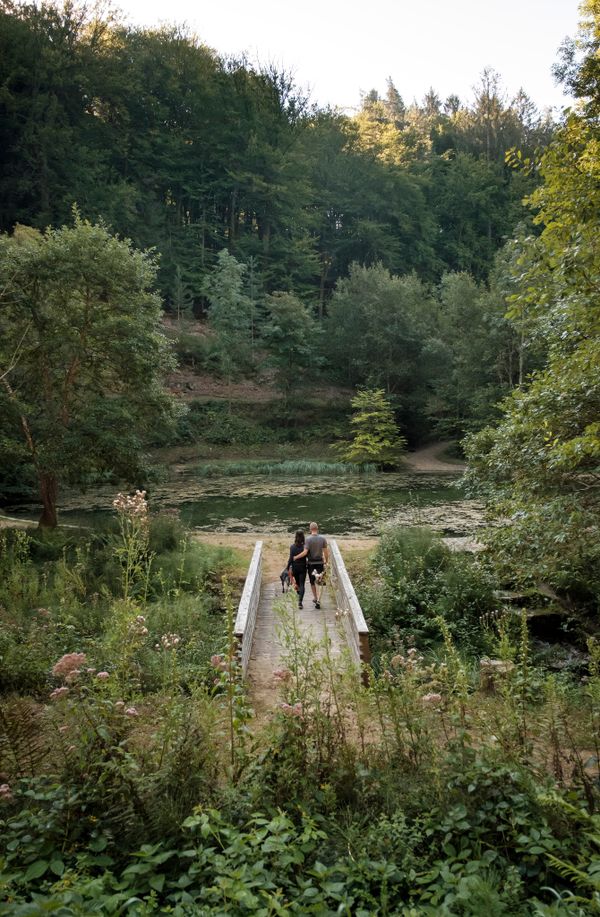
Een divers landschap in elk seizoen.
Een pad dicht bij de natuur biedt unieke rotsformaties en leidt door prachtige bossen, die in elk seizoen betoveren met hun bijzondere charme. Naast het lokale recreatiegebied "Dräiburen" en de grot van de Heilige Maagd, genoemd "Bildchen", maakt de tocht indruk met zijn veelzijdige landschappen.
Bewegwijzering

Wegbeschrijving
Het wandelpad is gemarkeerd in beide looprichtingen. Volg de wit-groene markeringen.
Veiligheidsaanwijzingen
Weersomstandigheden zoals nattigheid, ijs en wind kunnen een tocht bemoeilijken. De gegeven informatie heeft betrekking op optimale omstandigheden.
Uitrusting
Stevige schoenen en iets te drinken.
Aankomst
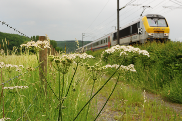
Openbaar vervoer: Maak gebruik van het gratis openbaar vervoer en reis klimaatvriendelijk met bus en trein.
Parking: Parkings zijn beschikbaar bij de bushalte.
Dichtstbijzijnde bushalte: Rollingen, Veräinsbau
Parking: Parkings zijn beschikbaar bij de bushalte.


 Deze website maakt gebruik van technologie en inhoud van het Outdooractive Platform.